


Eyes in the Sky: How PT Mayawana Persada Combines Drones and Ground Patrols for Forest Fire Mitigation
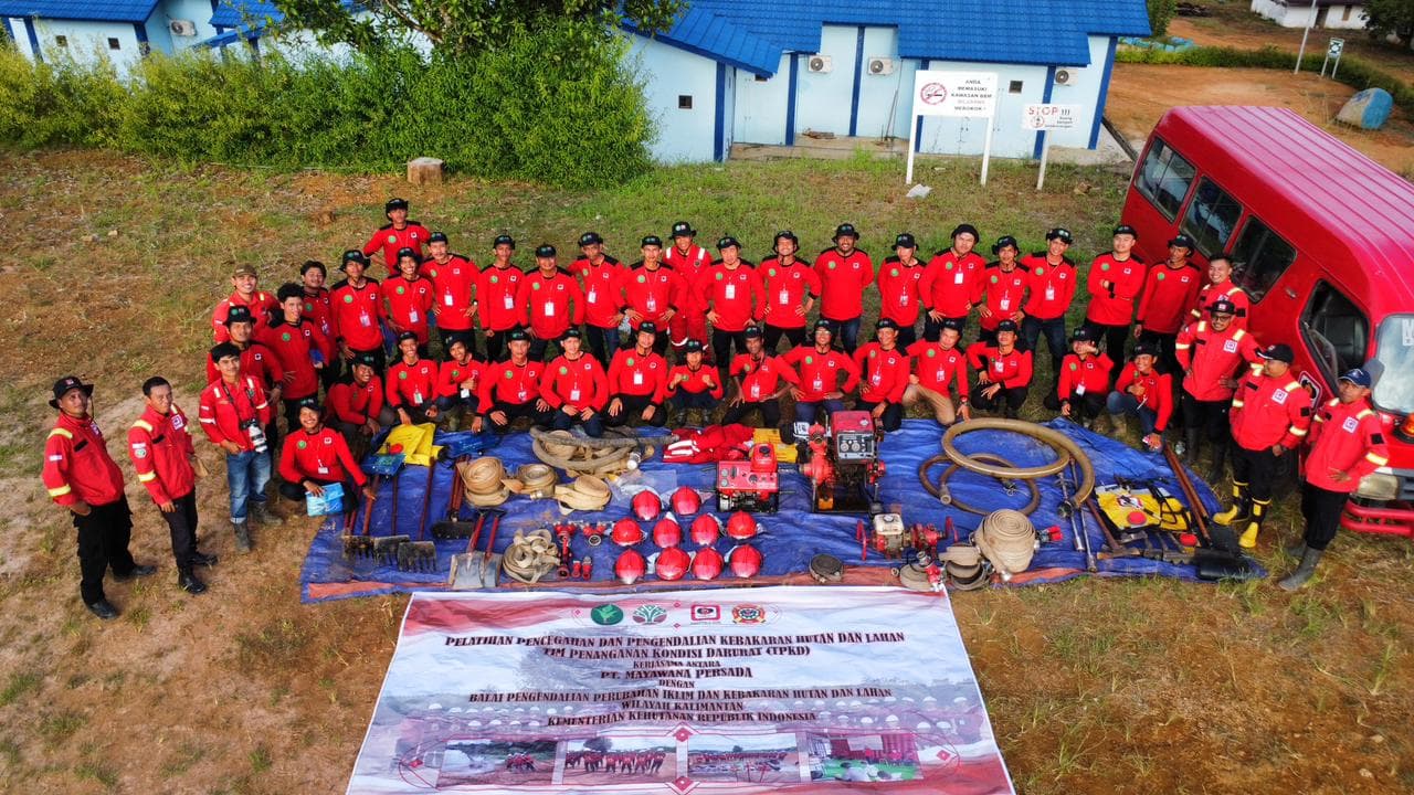
PT Mayawana Persada combines aerial drones, Sipongi satellite data, and ground patrols for early detection and peatland fire prevention in West Kalimantan.
KETAPANG, WEST KALIMANTAN — When muddy patrol tracks and dense vegetation restrict ground access, evaluating potential smoke plumes becomes a challenge. In remote concession boundaries, early detection requires clear visibility.
To assess site conditions without risking personnel safety across challenging terrain, PT Mayawana Persada’s patrol team deploys unmanned aerial vehicles (drones). Within minutes, this aerial technology provides precise data on smoke coordinates, the fastest access routes, and nearby water sources to prepare containment efforts. Additionally, the Fire Protection Team conducts continuous surveillance via CCTV cameras mounted on 40- to 50-meter watchtowers positioned at strategic points throughout the PT Mayawana Persada concession.

Integrating Aerial Drones, Satellite Data, and Ground Verification
Aerial drones are fully integrated into PT Mayawana Persada’s daily patrol Standard Operating Procedures (SOPs). Drone deployment works in tandem with physical ground verification (ground check).
When smoke is spotted, patrol teams perform physical checks to confirm whether the thermal source originates from plantation boundaries or local community agricultural activities.
Early detection is further supported by the Ministry of Environment and Forestry’s Sipongi satellite system. However, ground checks remain essential.
"Physical verification is mandatory, as satellite thermal hotspots can occasionally reflect heat from metal roofs in local settlements," explained a representative from the company's Sustainability Team.

Mapping Terrain Before Operational Response
High-resolution aerial visuals offer comprehensive situational awareness before ground crews advance. Teams map water availability, vegetation density, production forestry boundaries, conservation zones, and potential fuel sources.
Understanding terrain conditions allows patrol units to make rapid, measured fire suppression decisions, particularly during high-risk dry seasons.
To ensure operational readiness, patrol vehicles carry fully charged drones, spare batteries, portable water pumps, fire hoses, and auxiliary equipment.
Sustained Commitment to Forest Protection
By combining aerial early detection technology with ground crew readiness, PT Mayawana Persada continues to strengthen its fire mitigation capabilities. Moving forward, the company plans to upgrade fire suppression equipment and install thermal cameras on monitoring towers to reinforce forest protection across West Kalimantan.
FAQ
How are drones utilized in PT Mayawana Persada's fire prevention patrols?
Drones provide rapid aerial access to remote terrain, pinpointing smoke locations, identifying optimal access routes, and locating water sources in real time.
Does a satellite hotspot detection always indicate an active forest fire?
No. Every satellite-detected hotspot undergoes mandatory physical ground verification by field teams to confirm the actual heat source.
Read also
 Environment & Biodiversity
Environmental, Social, and Governance: A Strategy for Building a Sustainable Business
Read more Operations & Field Activity
PT Mayawana Persada Deploys Integrated Personnel and Infrastructure, Focusing Wildfire Suppression Toward Complete Extinction
Read more Operations & Field Activity
Emergency Water Retention Basin Built in Padu Banjar as KPH Team Responds to New Wildfire Report During Site Inspection
Read more